Mill Creek OHV Trail System

A small, green, ceramic turtle figurine with a textured shell and a smiling expression.

Understanding the Mill Creek Trail System

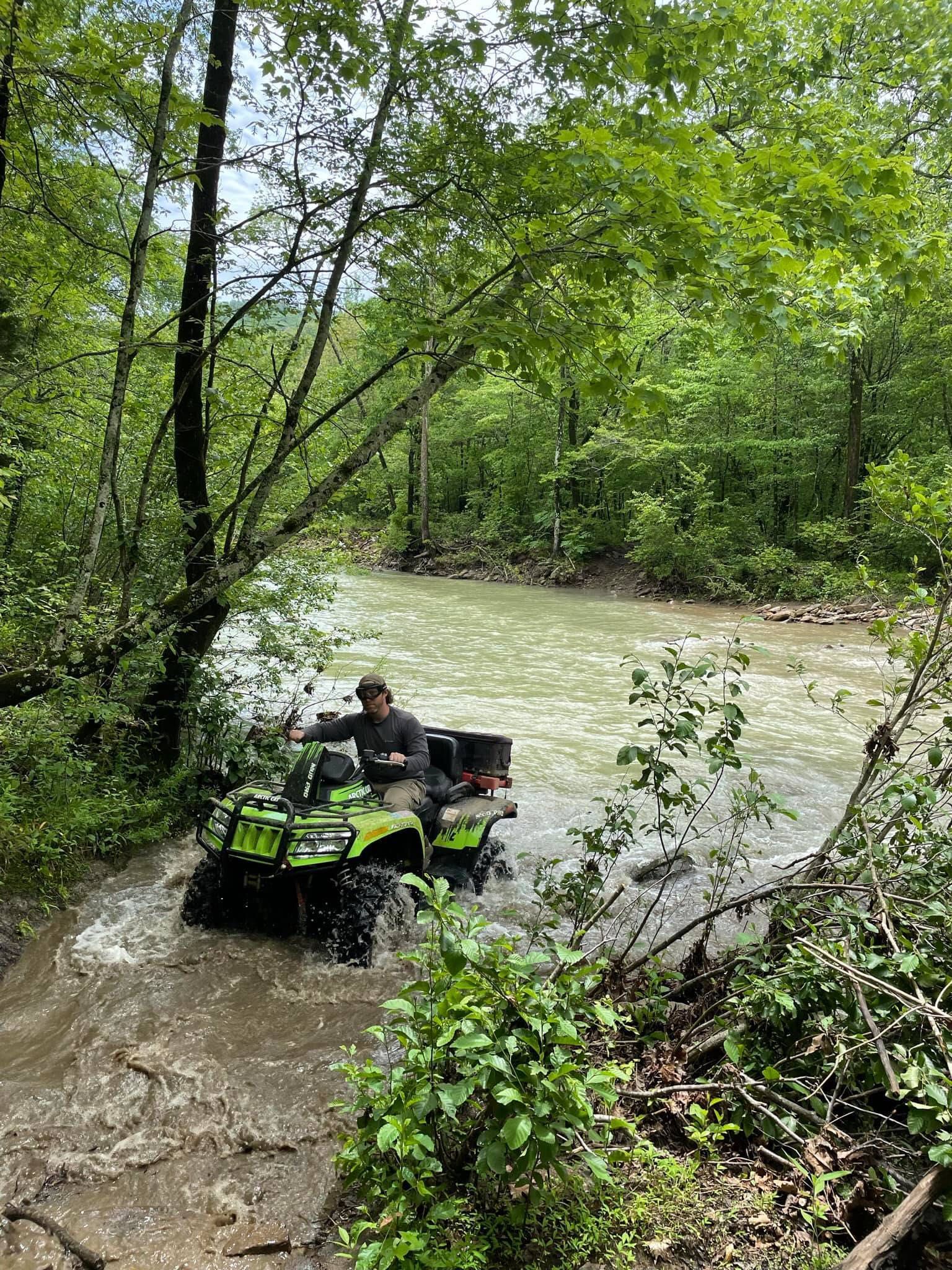
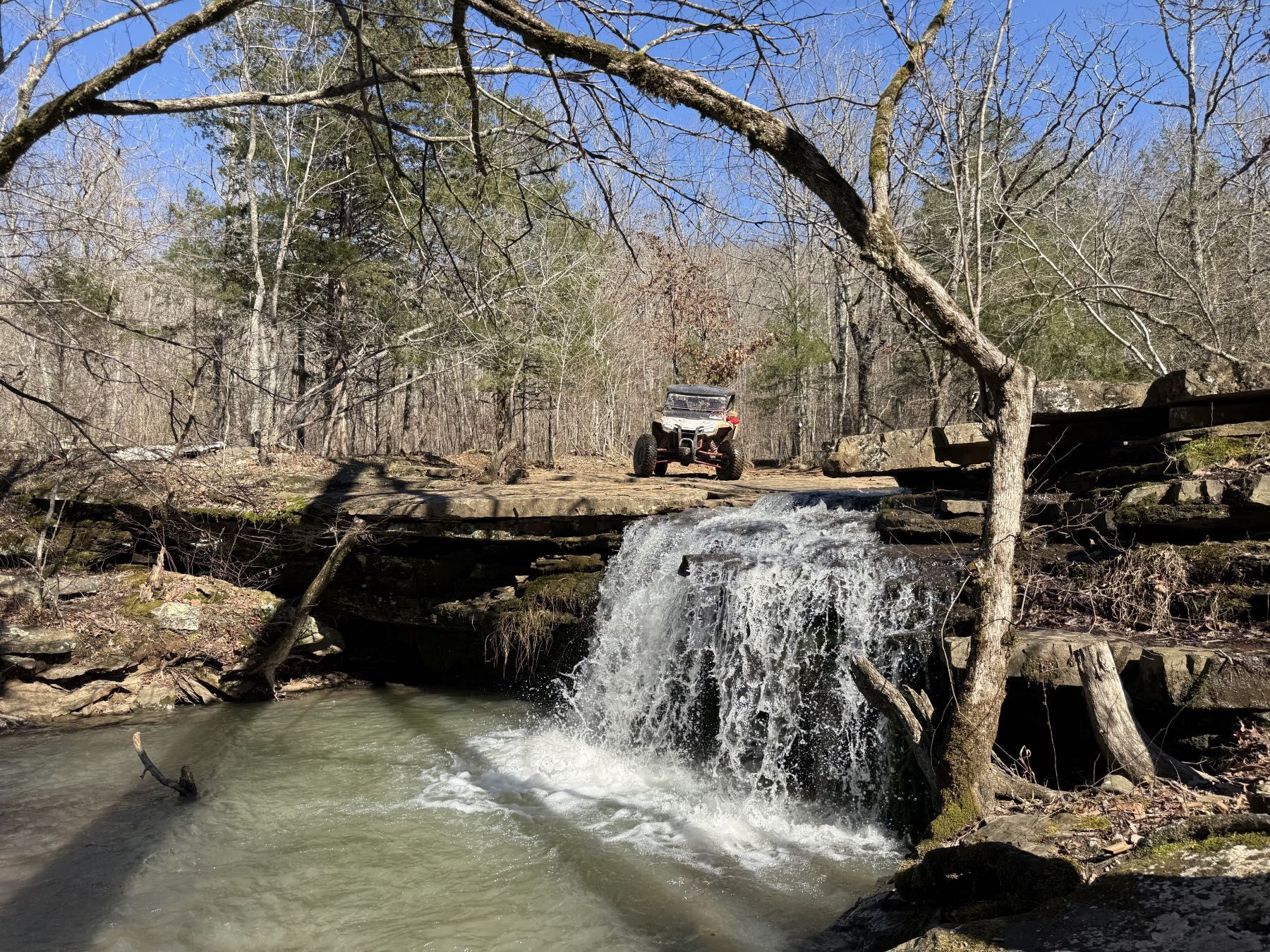
The Mill Creek OHV Trail System is one of the main riding areas in the Ozark–St. Francis National Forest, with miles of forest trails, creek crossings, overlooks, and waterfall routes to explore. Riders use a network of colored diamond markers to follow the main loop, connector trails, and mountain routes throughout the system. Whether you’re bringing your own machine, renting a UTV, or planning a guided ride, this page gives you a simple overview of how the trail system works, what you can see, and what to expect before you head out.

A person rides a bright green ATV through a shallow, muddy river surrounded by lush green forest.
A close-up of a brown, weathered hand holding a thick, gnarled wooden walking stick against a blurred, dark background.

How the Trail System Works


The Mill Creek system doesn’t use traditional difficulty ratings like green, blue, and black.


Instead, it uses colored diamond markers to show trail routes:

A thick black arrow pointing to the right.

Blue Diamond Trails – The main outer loop (about 26 miles)

A bold black arrow pointing to the right.

White Diamond Trails – Connector routes linking sections together

A thick black arrow pointing to the right.

Red Diamond Trails – A separate loop around Burl Mountain 


These markers help you navigate, but they don’t tell you:

A black arrow pointing to the right.

Which routes are more scenic

A solid black arrow pointing to the right.

Which ones are rougher

A black arrow pointing to the right.

Or how to combine trails into a great ride

A close-up of a dark, weathered wooden surface showing detailed grain, knots, and textures.

What You’ll Actually See Out There

Some of the standout spots across the system include:

Frog Bayou Falls

Wide, open waterfall you can ride right up to

3-2-1 Falls

Three creeks feeding into two waterfalls

30-Foot Falls

A popular scenic stop along the Blue Loop

60-Foot Falls

One of the tallest waterfalls in the area

Flat Rock Overlook

A wide bluff with long-range views

Hanging Rock

A short hike to a dramatic drop-off overlook

Ivey Belle Falls

A tucked-away spot most riders never find

A close-up of a brown, weathered hand holding a thick, gnarled wooden walking stick against a blurred, dark background.

Terrain: What the Ride Feels Like

Most of the Mill Creek trail system is approachable for everyday riders. But it’s not flat, easy riding the whole way.


You’ll run into:

A black checkmark symbol.

Rocky downhill sections

A simple, bold black check mark on a white background.

Steep climbs (with bypass options)

A black checkmark symbol on a white background.

Creek crossings

A bold black checkmark on a white background.

Washed-out or uneven trail sections

It’s the kind of terrain that keeps things interesting without being extreme. If you can follow a guide or ride with awareness, you’ll be just fine.

A close-up of a dark, weathered wooden surface showing detailed grain, knots, and textures.
A small waterfall flows over a rocky ledge in a forest with an off-road vehicle parked on the path above.

The Biggest Mistake Riders Make

Most people assume they can just grab a map and go.


And technically, you can.


But what usually happens is:

A solid black arrow pointing to the right.

You ride the main loop and call it a day

A solid black arrow pointing to the right.

You miss the best waterfalls

A black arrow pointing to the right.

You don’t realize how much more is out there

Guided vs. Riding on Your Own

You’ve got two ways to experience the trail system:

Ride on Your Own
A black arrow pointing to the right.

Full freedom to explore

A thick, black right-pointing arrow on a white background.

Requires navigation and planning

A thick black arrow pointing to the right.

Easy to miss key locations

Ride with a Guide
A simple, solid black arrow pointing to the right.

Direct routes to waterfalls and overlooks

A thick, black right-pointing arrow on a plain white background.

No guesswork or backtracking

A solid black arrow pointing to the right.

A more complete experience in less time

A close-up of a brown, weathered hand holding a thick, gnarled wooden walking stick against a blurred, dark background.

Make the Most of the Trail System


The Mill Creek OHV Trail System isn’t just a place to ride. It’s a place to explore.


The riders who get the most out of it:

A solid black arrow pointing to the right.

Know where they’re going

A solid black arrow pointing to the right.

Know what’s worth seeing

A thick black arrow pointing to the right.

And don’t waste time figuring it out as they go

If you want to see the best of it on your first trip, start with a guided ride or follow someone who knows the trails.

A close-up of a dark, weathered wooden surface showing detailed grain, knots, and textures.

Ready to Ride?

Whether you’re bringing your own machine or booking a guided tour, everything starts right here.